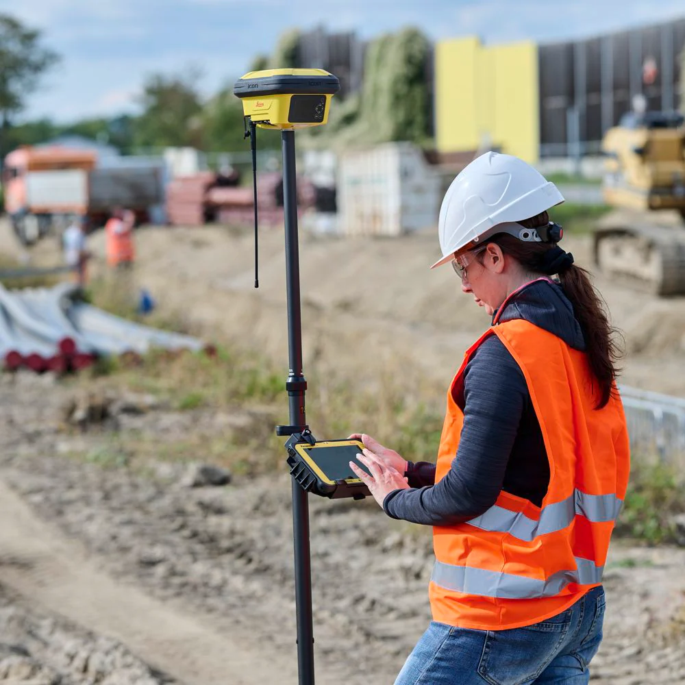
EMS Construction offers accurate GPS Survey services in Tirunelveli for land development, infrastructure projects, and engineering applications. Our GPS based surveying solutions help clients obtain precise location data, land coordinates, and mapping information for various construction and planning activities. We use advanced GPS technology to deliver reliable survey results for residential, commercial, industrial, and government projects.
GPS surveying is essential for modern engineering and infrastructure development because it provides fast and highly accurate geographic data collection. Our surveying experts use professional GPS equipment to identify land boundaries, elevations, coordinates, and project locations efficiently. EMS Construction ensures precise measurements that help improve project planning, reduce errors, and support smooth execution of construction activities.
Our GPS survey services support architects, engineers, builders, land developers, and government contractors. We provide accurate mapping solutions for roads, highways, pipelines, industrial layouts, utility networks, and agricultural lands. EMS Construction prepares detailed survey reports and coordinate data that assist clients in making informed project decisions with confidence and accuracy.
At EMS Construction, we focus on providing dependable surveying solutions using modern technology and engineering expertise. Our professional approach, timely service, and commitment to precision make us a trusted provider of GPS survey services in Tirunelveli and nearby regions. We strive to support every project with accurate field data and quality surveying assistance.
 ✔ GPS Land Survey ✔ Coordinate Mapping ✔ Boundary Identification ✔ Infrastructure Survey ✔ Highway & Road Survey ✔Agricultural Land Survey ✔ Utility Network Mapping ✔ Site Location Verification
 Opening Hours : Mon - Sat : 09Am - 07Pm